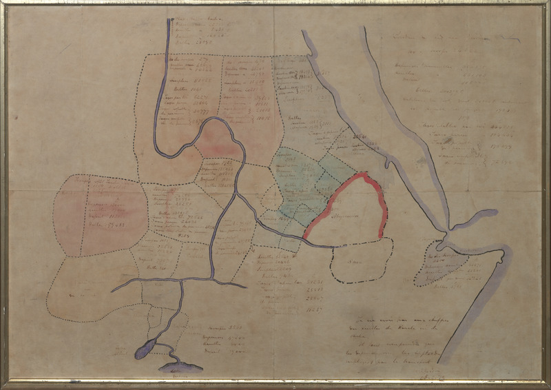
Sketch Map of Sudan in February 1879, drawn by Col. C. G. Gordon
Item
Title
Sketch Map of Sudan in February 1879, drawn by Col. C. G. Gordon
map
Creator
Gordon, Charles George., Maj Gen
Subject
Sudan; cartography; map
Maps
Description
Descriptive map of Sudan under Ottoman/Egyptian colonial occupation, drawn by Col. Charles Gordon in ink and watercolour during his first assignment as Governor-General of Sudan (18/2/1877-8/12/1879). The map is extensively annotated in French, the only language Gordon had in common with senior occupation personnel. Contains detailed information about the distribution of Egyptian garrisons, troop numbers and the economic position of each province. Framed in oak; signed and dated 25.2.79 by Gordon. [FHM 25/09/2019, FN/ON 09/02/2020]
Publisher
Making African Connections
Date
1879
1885
Format
Height 495mm; Length 670mm
paper
Identifier
6510.4
Source
Rights
© Royal Engineers Museum


