
Locating Kanguli and Tchiliwandele
Item
Title
Locating Kanguli and Tchiliwandele
Description
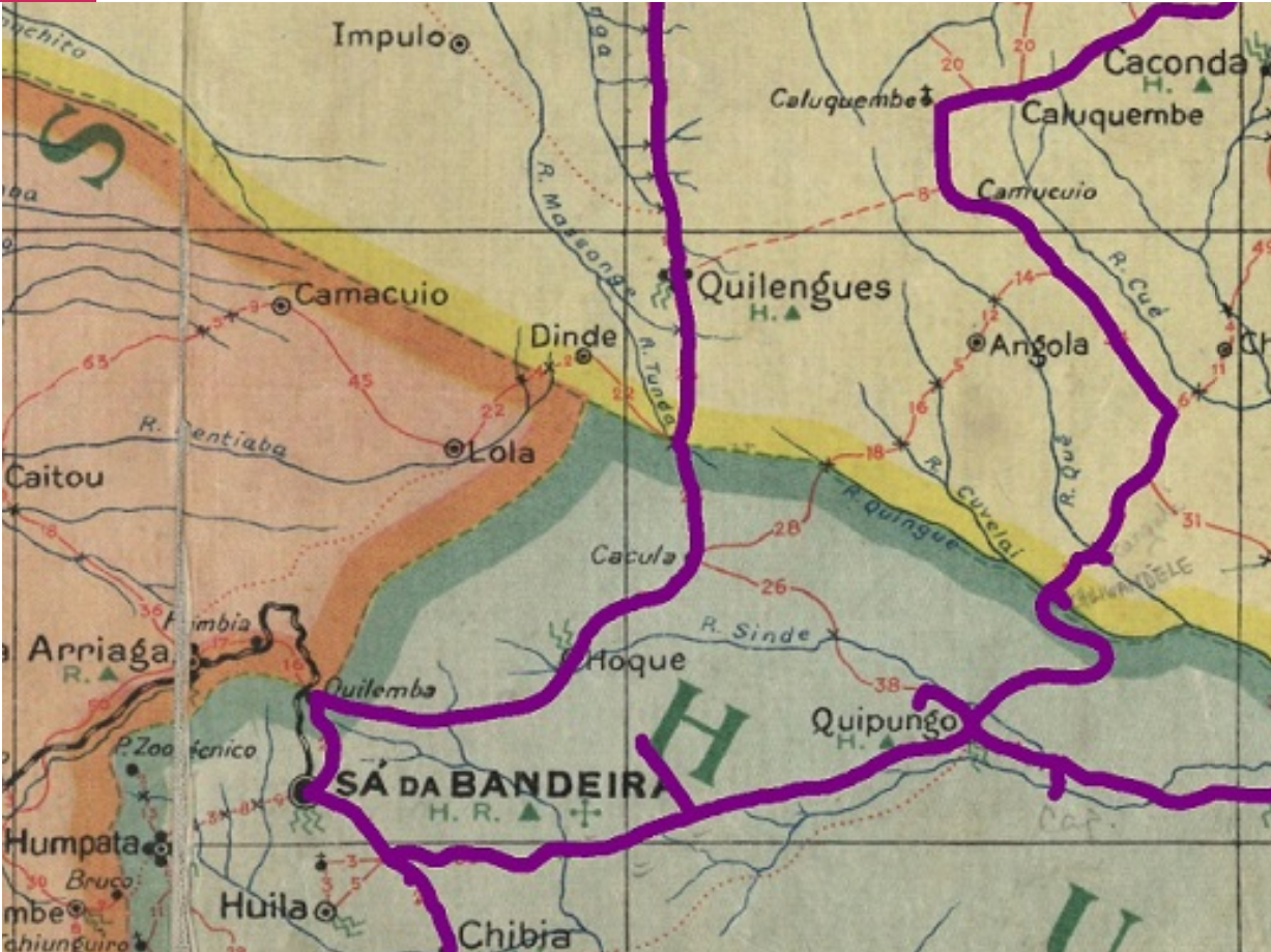
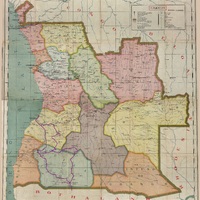
A close up of the map used by Diana and Antoinette Powell-Cotton to record their journey across South-West Angola in 1937. The names of Tchiliwandele and Kanguli are marked on the map near the boundary between Benguela and Huila province. In the present day this area is part of Huila province.
Close up of ARTA-ROTEIRO DE ANGOLA / LITH. De Portugal-Lisboa . coligida, coordenade e desenhade por J. E. Morim ; propriedade exclusiva de Manuel Joaquim Ramiro. - Tipografia e Papeleria ‘Minerva’ – Loanda-Caixa Postal, No. 42.
Relation
Linked resources
Filter by property
| Title | Alternate label | Class |
|---|---|---|
 Tchiliwandele Tchiliwandele |
Agent | |
 Kanguli Kanguli |
Agent |
| Title | Alternate label | Class |
|---|---|---|
 Map Showing the route of the Powell-Cotton Sisters trip in 1937. Map Showing the route of the Powell-Cotton Sisters trip in 1937. |
Physical Object | |
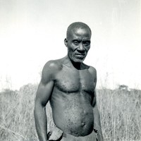
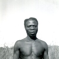
 Locating Tchiliwandele's homestead. Locating Tchiliwandele's homestead. |
Event | |
 Biambia Biambia |
Agent |