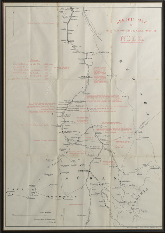
'Sketch map to illustrate obstales to navigtion of the Nile'
Item
Title
'Sketch map to illustrate obstales to navigtion of the Nile'
map
Creator
National Press Agency
Subject
Sudan; rivers; navigation; communication
Maps
Description
A printed map of the River Nile from Khartoum to Cairo, scale 1:4,000,000. The map predominantly shows Sudan, as well as areas of the Red Sea and Abyssinia. The title (top right), distances and notes on navigation are printed in red whilst the map details, including the telegraph route are printed in black. Along the bottom right edge 'Printed & published by the National Press Agency 13, Whitefriars St E.C. for the Liberal Central Association' is printed. The map is glazed and within a black frame with a gold trim. [DS 11/11/2020]
Publisher
Making African Connections
Format
Height 585mm; Width 416mm
Identifier
6705.3.2
Source
Rights
© Royal Engineers Museum


