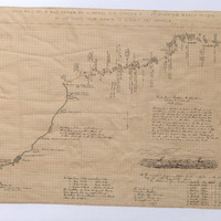
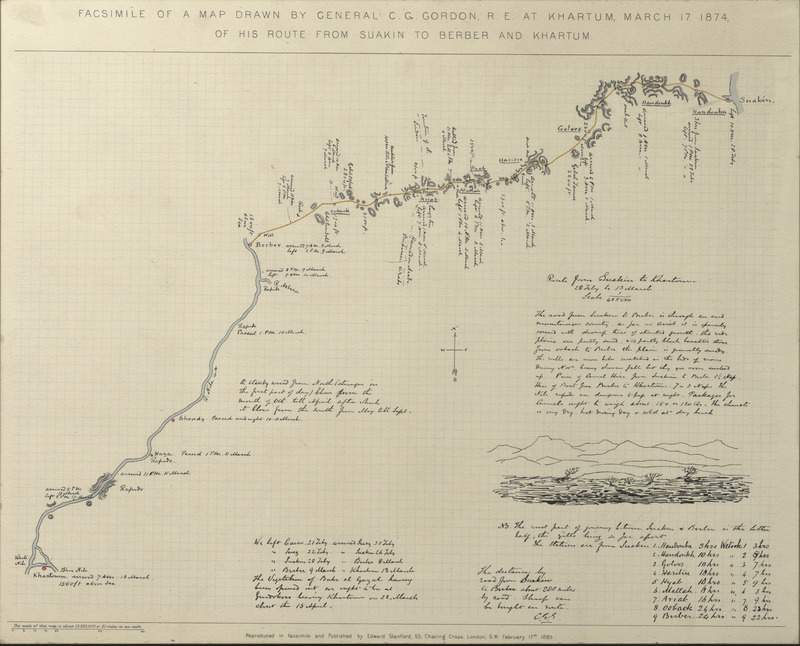
Facsimile of a Map Drawn by General C.G. Gordon, R.E at Khartum, March 17. 1874 of his Route from Suakin to Berber and Khartum
Item
Title
Facsimile of a Map Drawn by General C.G. Gordon, R.E at Khartum, March 17. 1874 of his Route from Suakin to Berber and Khartum
facsimile
Creator
Stanford, Edward
Subject
Khartoum, Sudan
Maps
Description
Facsimile of a hand-drawn map by then Col. Gordon, illustrating the fastest route from Suakin on the Red Sea to Berber on the Nile and thence south to Khartoum.
Gordon was an expert draftsman and accomplished engineer as well as a tireless traveller: throughout his career, he drew precise and carefully annotated charts of his journeys.
This map was drawn by Gordon in March 1874 as he travelled to take up the position of Governor of Equatoria, at the behest of Khedive Ismāʿīl of Egypt. The map depicts a track snaking through the arid Red Sea hills, covered by Gordon’s party in a brisk journey of less than a fortnight: eight days to Berber and a further four by river to Khartoum. Gordon calculated the route at 288 miles, though later assessments cut up to 40 miles off that figure.
The map was first published by C.P. Stone in an academic journal (Science 5/114 (1885), p. 290) in the aftermath of Gordon’s death in Khartoum. Made available to the wider public by Edward Stanford of Covent Garden, it played an important part in the debate over the earlier decision by Lord Wolseley to reject this far shorter Suakin-Berber route as the preferred option for the failed Gordon Relief Expedition of 1884-5. [FN/ON 14.8.19, FHM 2019]
No additional information in the Gordon's School register of objects. [NSty 23/10/20]
Publisher
Making African Connections
Date
1874-03-17
1885-02-17
Type
PhysicalObject
Format
400 mm x 485 mm x 12 mm
Identifier
GGC130
Source
Language
Rights
© Royal Engineers Museum
Item sets
Linked resources
Filter by property
| Title | Alternate label | Class |
|---|---|---|
 Facsimile of hand-drawn map by Gen. Gordon Facsimile of hand-drawn map by Gen. Gordon |
Physical Object |


